The La Guette peat bog is part of the network of sites labelled by the Institut National des Sciences de l’Univers du CNRS (INSU-CNRS) in continental surfaces and interfaces, the Service National d’Observation Tourbières (SNO Tourbières).
The SNO Peatlands is a long-term operational infrastructure based on the observation and modelling of the functioning of temperate peatlands subject to to climatic and anthropogenic disturbances.
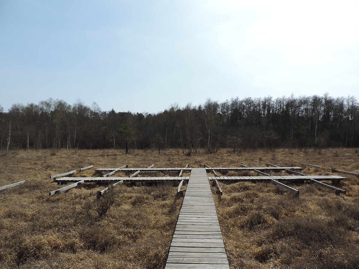
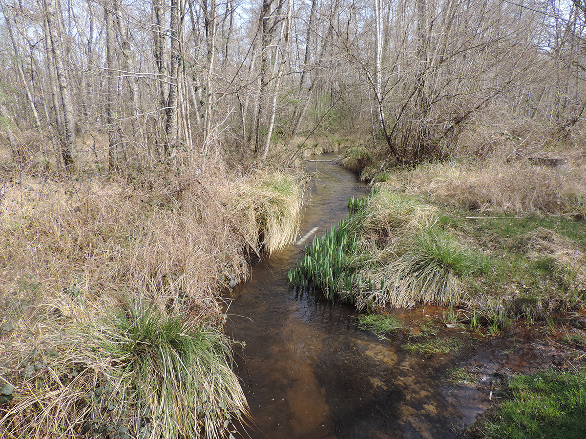
The La Guette peat bog is located in the Cher to the north-east of Vierzon. It occupies the bottom of the lower valley of the Guette shortly before its confluence with the Barangeon in the commune of Neuvy-sur-Barangeon. It borders the river over a good part of its course, over a length of about 1350 metres. The environment is fed by both the alluvial water table and lateral water inflows (runoff and epidermal water).
For several years, the site has suffered from the increasing invasion of the environment by a “banal” biodiversity (mulberry and birch) to the detriment of species specific to these environments (sphagnum). (sphagnum moss). The development of this invasive vegetation is linked to the right of way of an adjacent road at the level of the outlet which, through its ancillary developments (rainwater drainage ditch, etc.), has led to the creation of a new road. The development of this invasive vegetation is linked to the right of way of an adjacent road at the level of the outlet, which, through its ancillary developments (in particular the rainwater drainage ditch), causes surface and underground drainage of the water from the peat bog towards the ditch, contributing to the drying out of the site. the site.
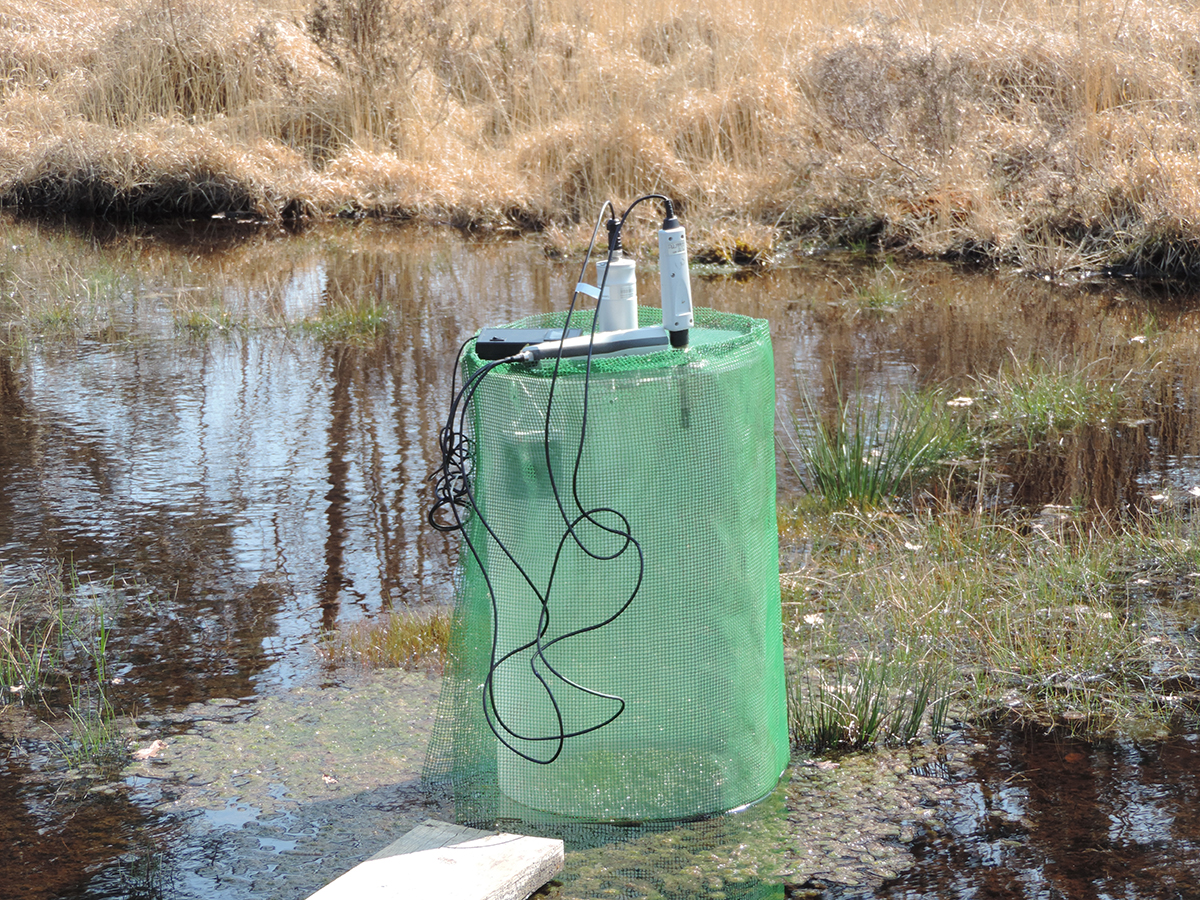
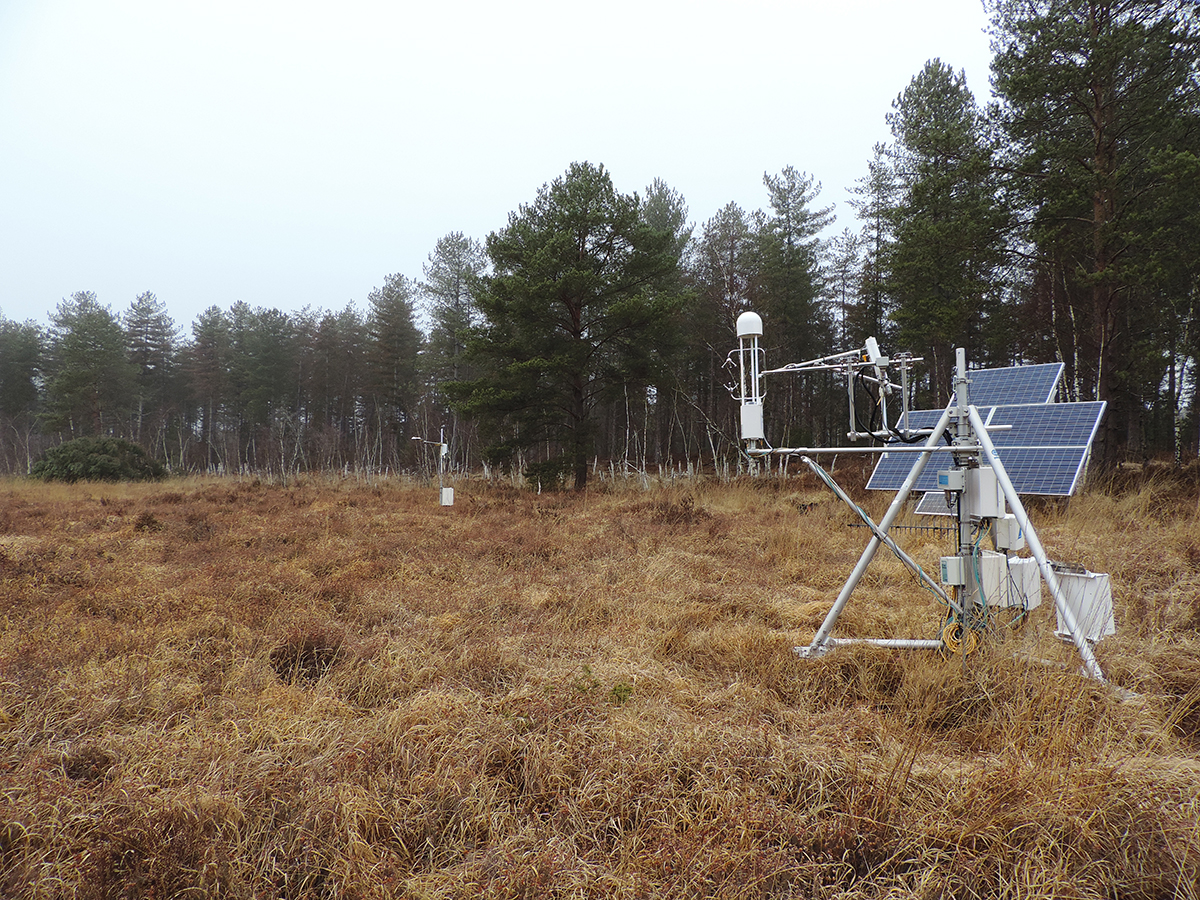
This problem has given rise to many questions, which led to the installation of the first measuring instruments in 2008 (automatic piezometers). Since then, ecological engineering work has been carried out to try to restore the hydro-ecological balance of the site. This work is being monitored over the long term and is accompanied by This work is being monitored over the long term and is also accompanied by continuous monitoring of greenhouse gas emissions.